Tuesday 30 April 2013

Hen Cloud & The Roaches

Popular with climbers these sharp cliffs of grit stone also hide a mysterious self contained chasm of St Lud's Church - 60ft deep.


Saturday 27 April 2013

crowden to Black hill circular walk

A hard 8 mile walk starting from the Crowden caravan & camping club site. The first half of this walk follows the route of the Pennine Way. Initially following the brook until climbing up & along the steep edge of Laddow Rocks. Then a paved route helps the journey through the peat bogs to the summit of Black Hill.


It is the highest point in the historic county of Cheshire, and now lies on the border between the boroughs of Kirklees in West Yorkshire and High Peak in Derbyshire, reaching 582 metres (1,909 ft) above sea level.
The top is peaty and thus very boggy after rain. The area surrounding the summit itself had virtually no vegetation and was very dark, giving the hill an appropriate name. However, recent restoration work has eliminated much of the exposed peat. Black Hill is crossed by the Pennine Way whose now-paved surface allows walkers to reach the top dry-shod even in the wettest of weather.

Then a tough walk along a vague and sometimes non existent path through the peat and bogs to the top of hey edge for views over the Torside & Woodhead reservoirs.


Wednesday 24 April 2013

Walk up Kinder Scout to the Woolpacks & Kinder Low

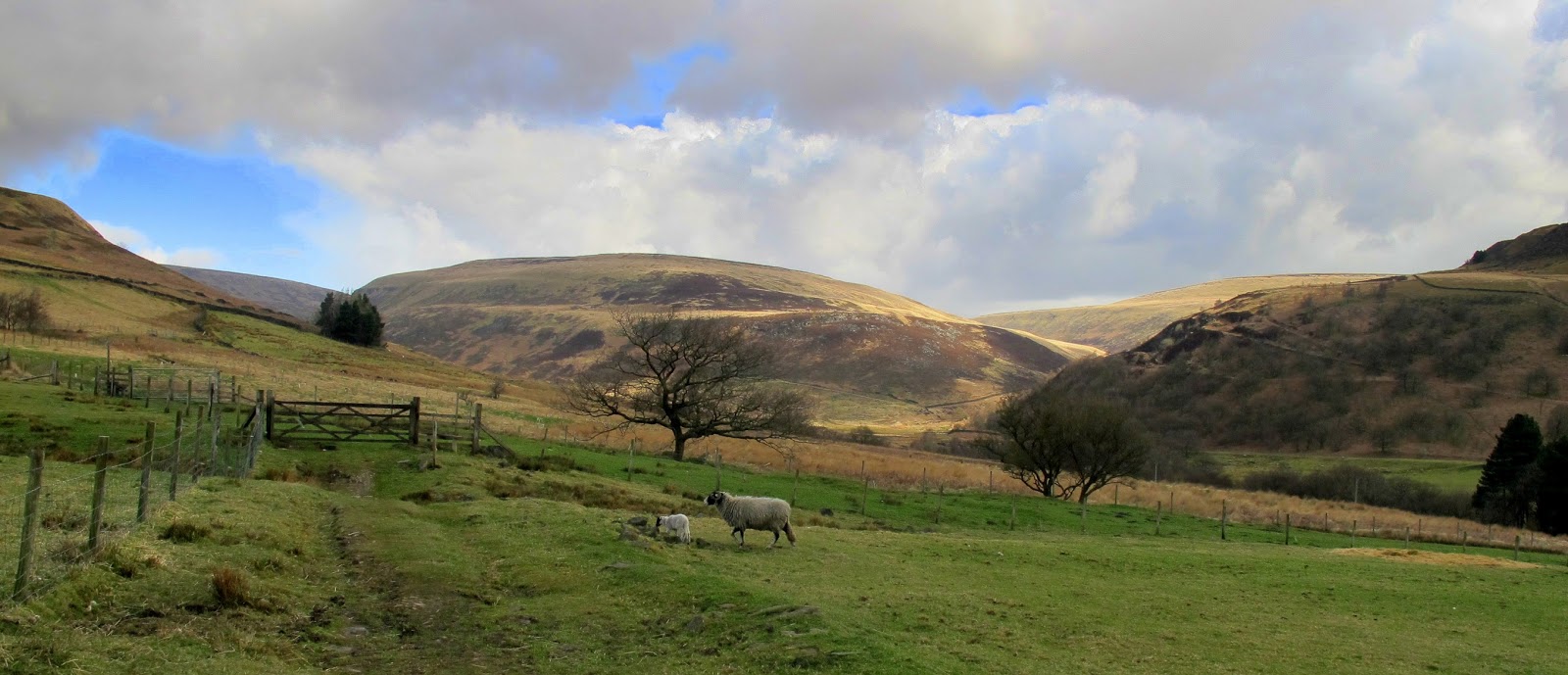
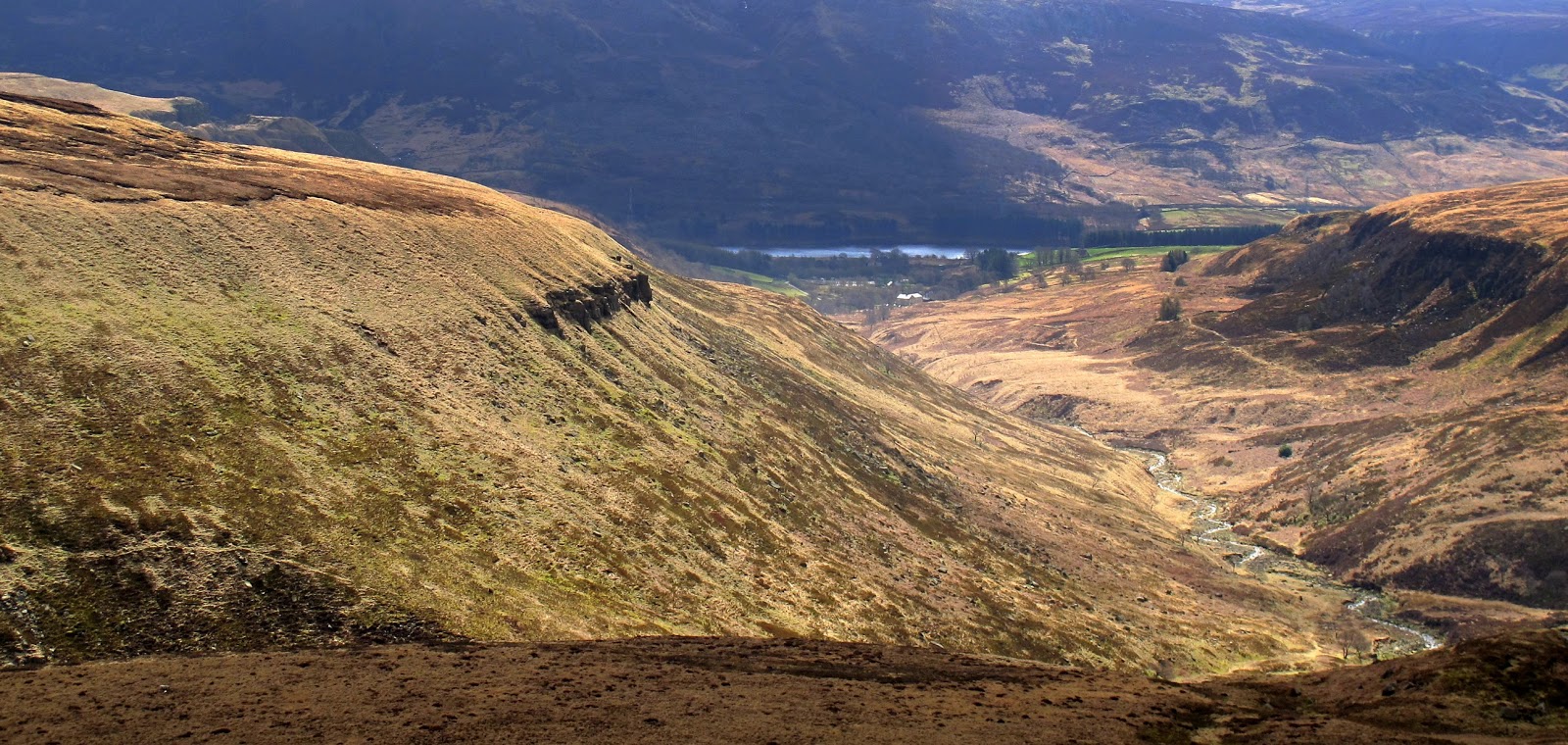
This time exploring the Southern edge of Kinder Scout.

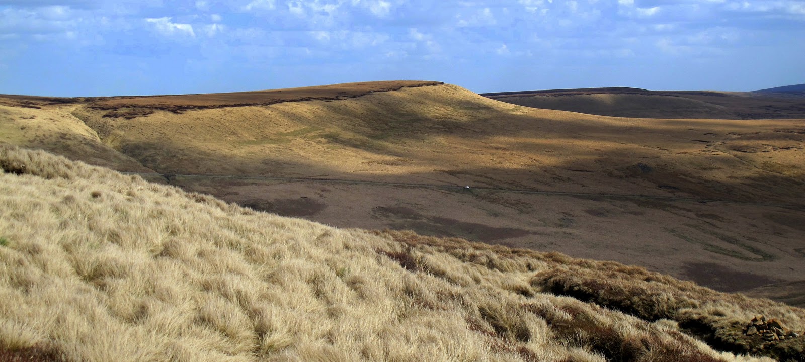
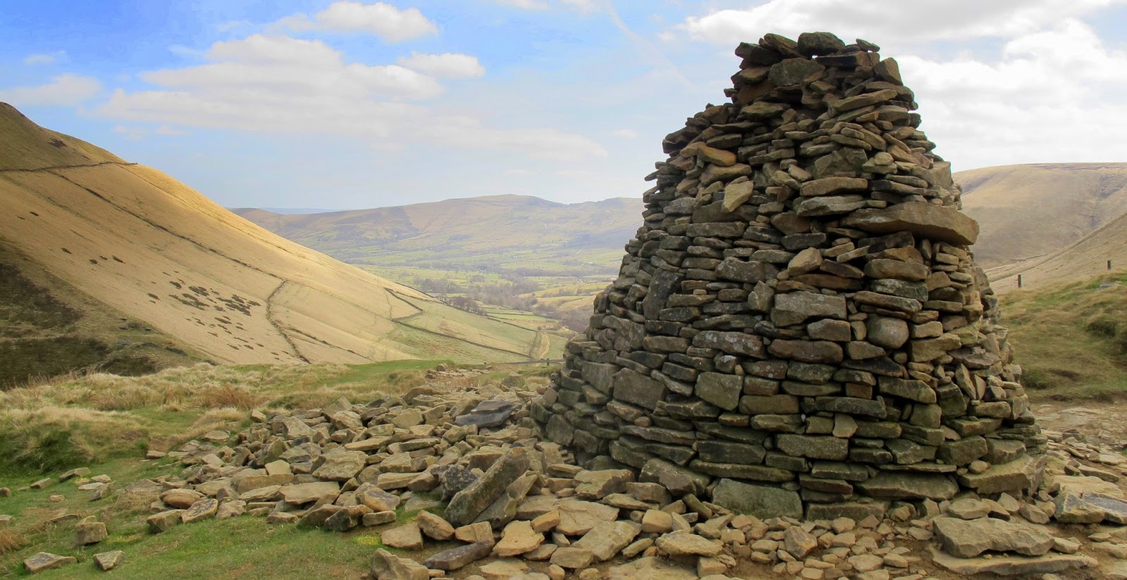
 Firstly to the top of Jacobs Ladder for views along the Edale Valley and towards Mam Tor. Then backtracking to walk along the edge to "The Woolpacks", huge gritstone formations shaped by millions of years of wind and rain. I felt that they were from a Dr Who adventure and that the stones would come alolive and attack at some point. Then back to climb the last bit up to Kinder Low, the highest point of the peak district.